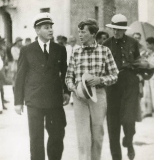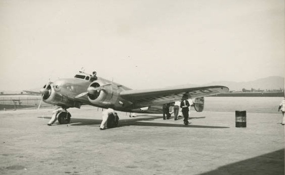
4 June 1937: On Leg 8 of their around-the-world flight, Amelia Earhart and her navigator, Fred Noonan, fly the Lockheed Electra 10E, NR16020, from Paramaribo, Nederlands Guiana (today, Suriname), to Fortaleza, Brazil, a distance of 1,330 miles (2,141 kilometers). They stay there to rest for a day.
“The weather at Paramaribo was perfect except for a morning mist from the Surinam River, when we took off to skim the tree-tops and then pull up. Speaking of trees, we had plenty of them on this jump to Fortaleza in Brazil – trees and water. During the day we flew over 960 miles of jungle, added to hops of 370 miles by compass course over open sea, a total of 1,330 miles, or a trifle more than half the transcontinental distance between New York and Los Angeles. . . After about ten hours’ flying I was glad to see Fortaleza sitting just where it should be, according to the maps, between the mountains and the sea, on a brown, sandy plain, in the arc of a crescent-shaped indentation just west of Cape Mucuripe. . . Fortaleza is a town of 100,000 people, a potent metropolis whose name few of us in North America have even heard. In my own ignorance I had thought of Natal as a more important place. That, of course, because Natal figures so largely in aviation matters. Fortaleza’s airport was so fine we decided to make final preparations for the South Atlantic hop there rather than at Natal, the actual jumping-off place for that much-flown stretch. . . .”
—Amelia Earhart


© 2019, Bryan R. Swopes